Here's the bizz:
Basically, there's a really quite good new program where you start out with the sphere of Earth rotating on the screen. You scroll the mouse wheel or click the zoom buttons (while dragging the planet with your left click), and you can zoom in to street level on nearly every single slightly major city in the World, with the rest of the world at 'medium resolution'.
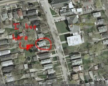
I can't find my house, as it's in a pretty small town and doesn't zoom in far enough.
The closest place to me that I can zoom RIGHT in in Norwich city.
I really like this program, especially as it's really smooth and quick. It doesn't take ages loading whenever you move, it's like scrolling down a webpage.
There's even a tilt slider that I just found. With it, you make it so you're viewing from a ground angle, rather than birds-eye.
Apparently, though, there are only actual 3d buildings that you see the sides of in 8 cities of Merica.
Just zoomed in from space, right into Washington DC, to street level, then titled and saw the White House from ground level. Sure, the 3d buildings aren't textured, but damn good.
http://earth.google.com/
Go Download